


This one is a different kind of post. There's no ride and no track, just some of the footage I like best from the drone flights I made over Oahu.
Oahu is a big part of my life. I've lived there for over twenty years, though not all at once: as a kid in the '70s and '80s, then again after high school, and later, after I met Helena, we moved there together. Our kids were born there, and they both graduated high school there. We have friends there who are as close as family, our ohana, and we visit often. I was living there when I shot all of these.
I'm FAA certified, and I followed all the rules and regulations on every flight.
I've grouped it loosely by side of the island, because that's how I remember it.
The east side
The east side gets most of the frames. Looking down over the Mokes off Kailua and Lanikai. Lanikai Beach at sunrise. Makapuu, where the shorebreak comes in hard and the riders go out into it anyway. A couple of clips of the coast road, following the car along the shore. And one unexpected visitor: a paraglider who just showed up. I hadn't seen them when I took off or while I was flying, and we were very far apart.
South and North Shore
On the south shore there's Magic Island.
The North Shore is where the water turns into the subject. Snorkeling around the coves, and then the manta rays: one on its own, a few more, and a pair moving together. From above, they're just shapes gliding under the surface, which is exactly why I kept those clips.
From above, they're just shapes gliding under the surface, which is exactly why I kept those clips.
And then there's one that doesn't belong to any side: the kayak and the hammock.
The island
A little about Oahu
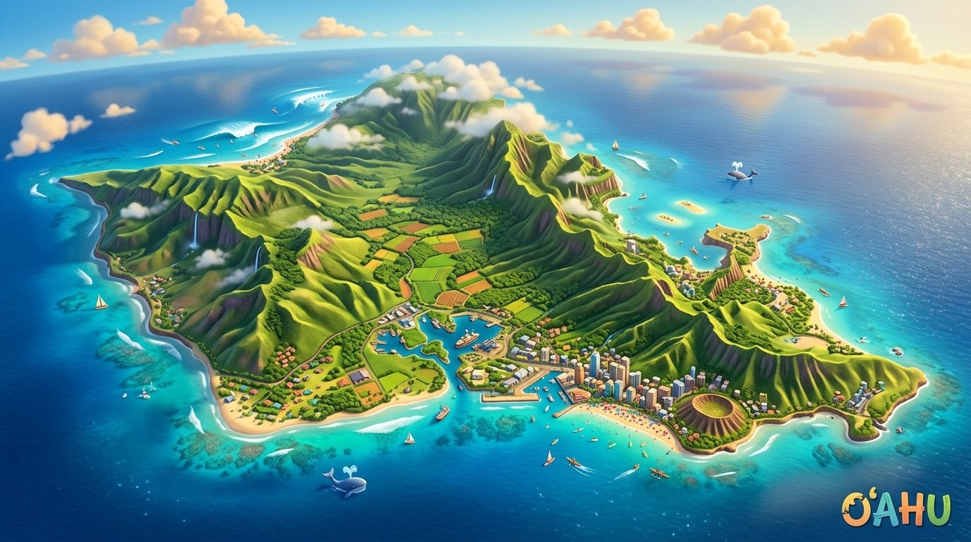
Seen from above, Oahu is a contrast of green volcanic ridges, turquoise shallows and open Pacific swell, and it changes character with every side you fly.
The North Shore is the big wave arena. Winter swells come in from deep water and break over shallow reef at spots like Pipeline, Sunset and Waimea Bay. From the air you see the scale of the white water and the curve of the sandbars.
The windward east side is reefs and trade winds. Past Makapuu the water turns bright turquoise over the reef, the trades, blowing onshore most of the time, bring surf and kites outside Kailua and Waimanalo, and the Mokulua islands sit off Lanikai like stepping stones in the shallows.
The leeward west side is dry and rugged. The Waianae range drops toward quiet coves and tide pools, and at golden hour the long shadows stretch out toward Kaena Point.
The south shore is the city coastline: the Honolulu skyline, the crater of Diamond Head and the gentle reef breaks of Waikiki, all glowing at sunset.
The experiment
The idea for this page is a bit of an experiment. An illustration of the island at the top, with a little drone character flying over it, both made with AI, and the clips laid out below as a collage. Less of a story and more of a postcard.
What I learned: going back through years of footage, the clips I kept weren't the biggest views. They were the ones with something moving in them: a wave, a ray, a car on the coast road.