
I lived in Ireland for nine years. Over that time, and on trips back since, I took the drone up all over County Donegal, and down to Kerry. This is a montage of what it saw, mostly from straight above, gathered over the years rather than on any one day.
The coast near Ards Friary, straight down
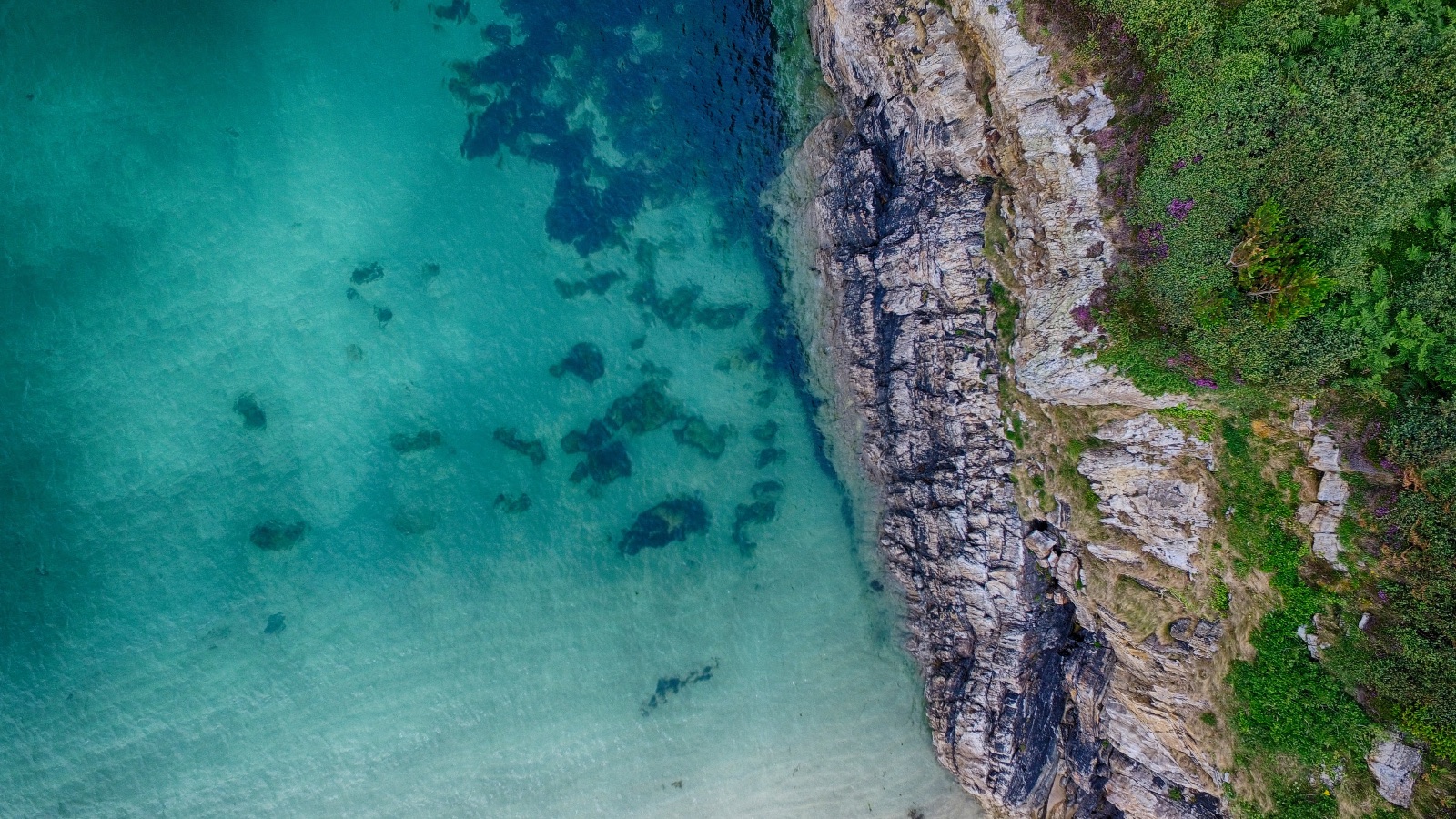
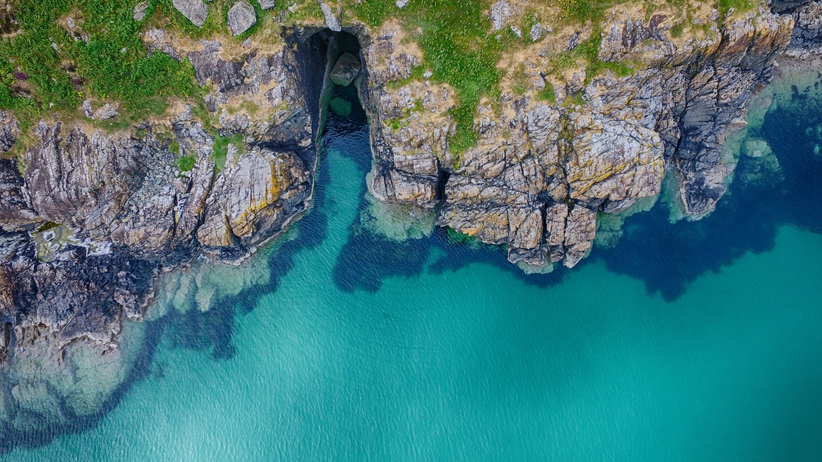
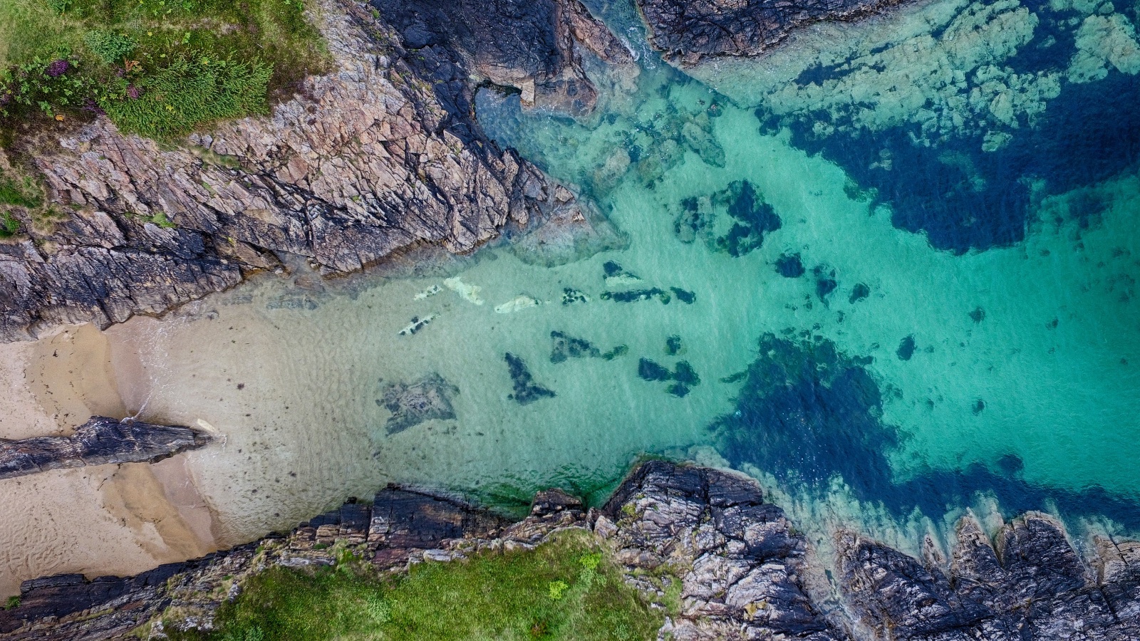
The first set is from the coast near Ards Friary. The water was the surprise: clear turquoise over pale sand, with dark patches of rock and weed showing right through it. Straight down, the coastline turned into pattern. A grey cliff edge with heather on top. A narrow cave cut back into the rock, green water running into it. A small sandy cove between two dark arms of stone.
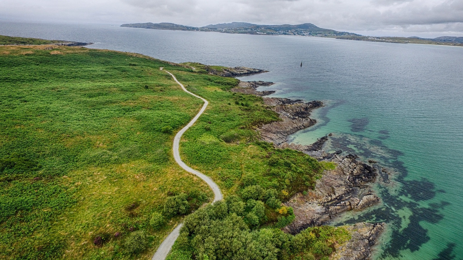
One frame looks out instead of down: a thin paved path winding along a green headland, rocky shore on one side, open water and low hills across the bay under a grey sky.
Straight down, the coastline turned into pattern.
Valleys, waterfalls and Slieve League
Inland, I flew the drone over Donegal's valleys, lakes, streams and waterfalls. Another morning it was above the cliffs and caves of Slieve League.
A ring of stone
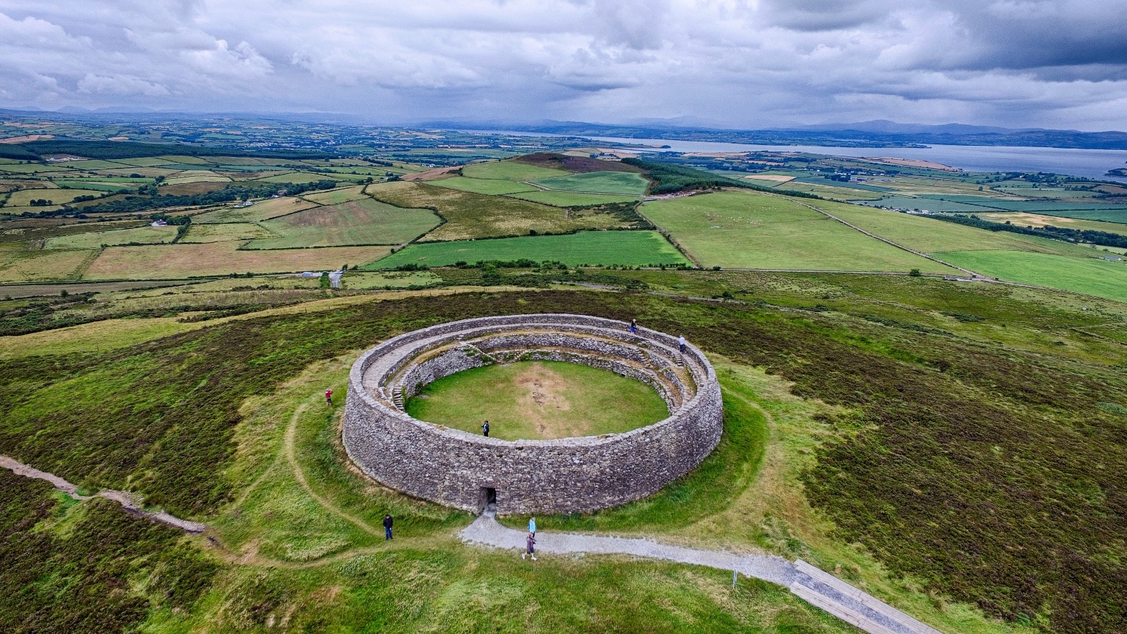
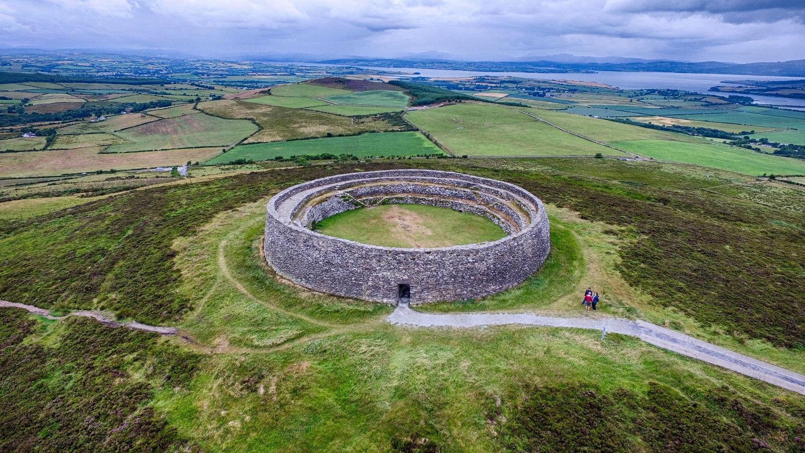
I also flew over Grianán of Aileach, the round stone fort on its hilltop in the north. From the side it is a thick ring wall with terraces stepping down the inside. From straight above it becomes a near-perfect circle sitting in brown heather, with a path running up to its one doorway. Pull back far enough and it is a small grey ring in a patchwork of fields, with water spreading out in the distance.
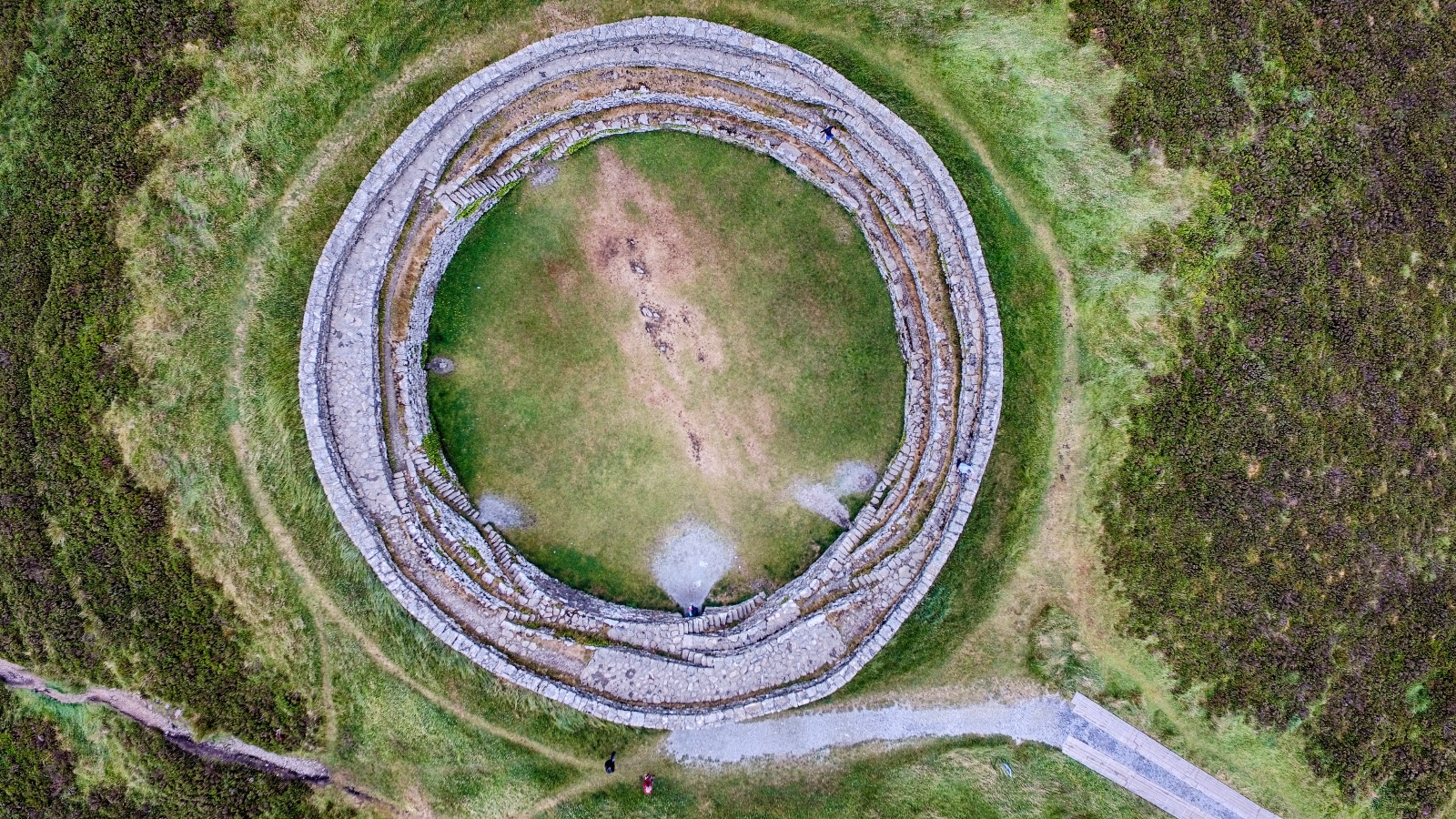
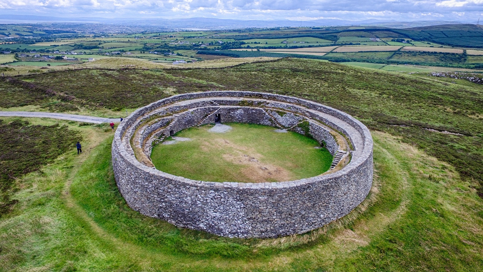
The people walking around it are tiny in these shots, which is what tells you how big it is.
A note on the drone at the fort
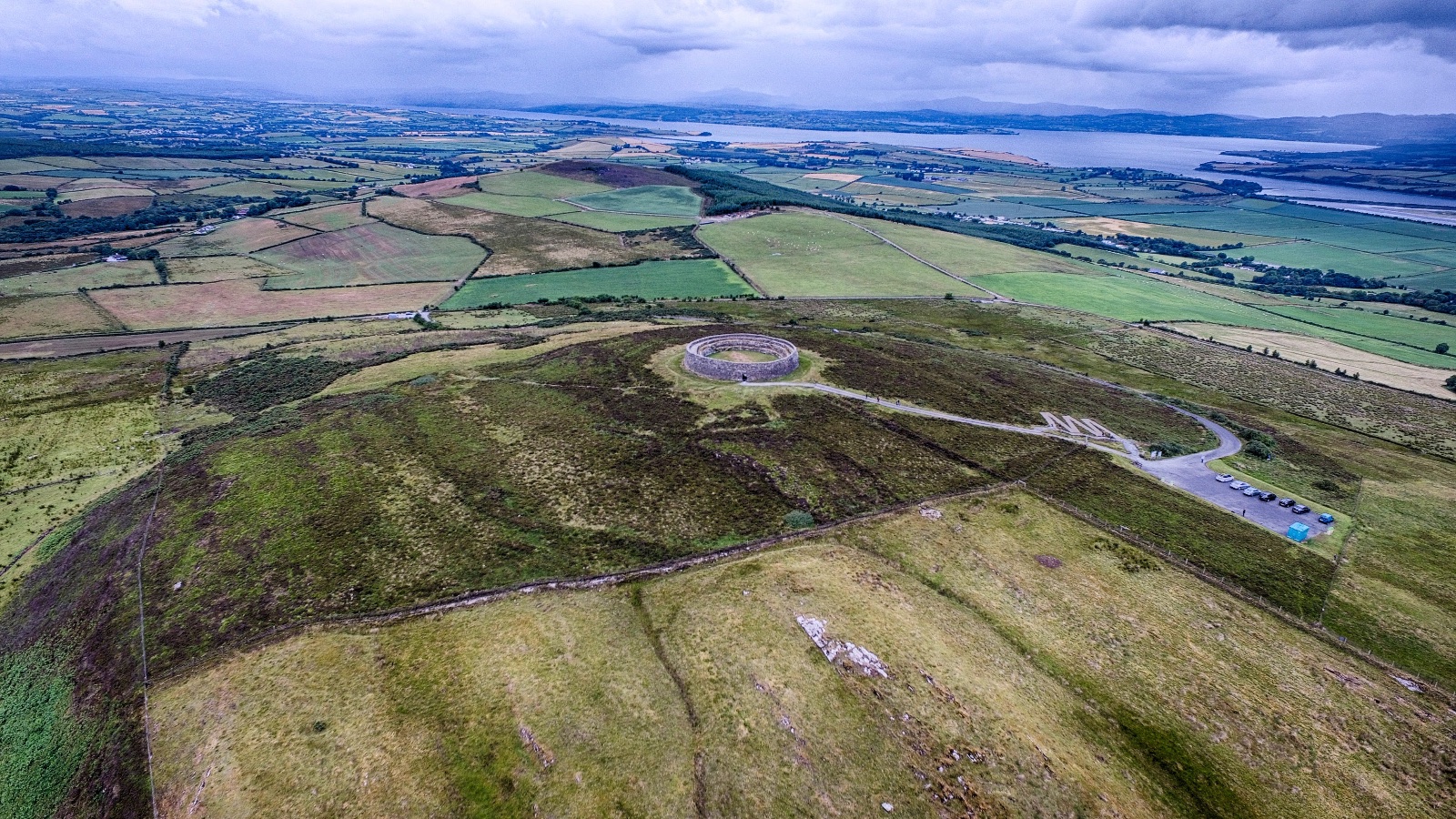
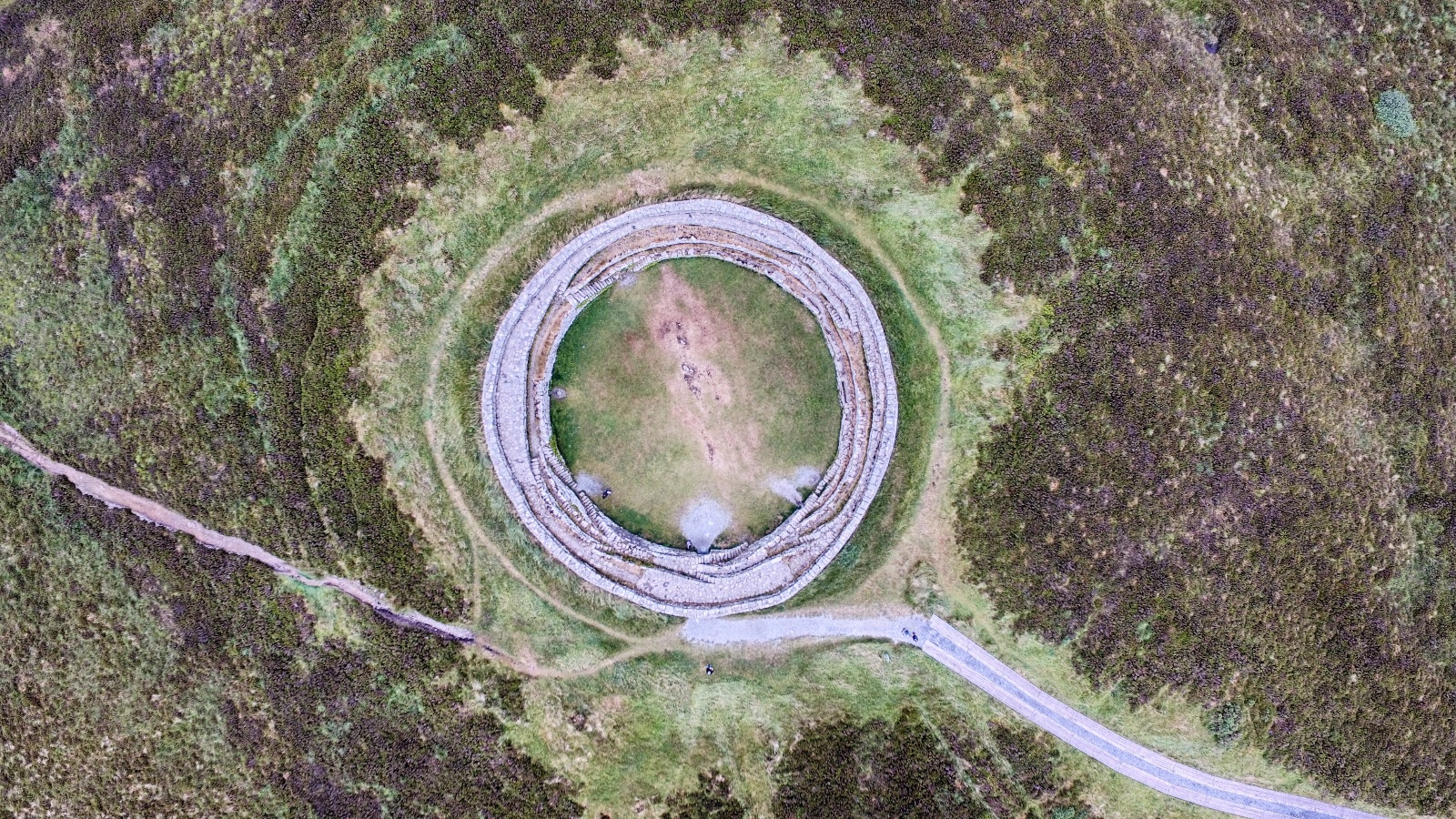
I want to be clear about this. The drone footage of the fort is from years ago, before drones were banned there. A few years ago, signs went up saying no drones. The newer clips of the fort, the mist blowing over the wall and the inside of the ring at sunrise, I filmed on a recent trip back with my phone only. I didn't fly the drone. Once the rule was there, I followed it.
Puffins and Kerry
On Skellig Michael in Kerry, drones aren't allowed, so I didn't bring mine. The clips of the puffins playing on the island and flying off it are from my iPhone. Back on the mainland, the drone filmed the Ring of Kerry in summer, and boats sitting in a bay.
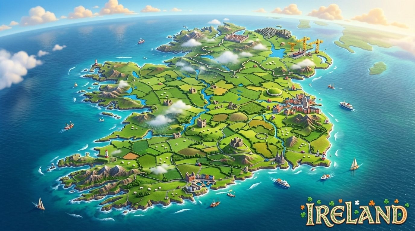
The illustrated map of Ireland that opens this post was made with AI.
What I learned: the same place can be two different pictures. Looking straight down turns a coastline or a fort into a shape; tilting the camera up to the horizon puts it back into the landscape. And when a place asks you to keep the drone on the ground, a phone and your own two feet still get you a good picture.