

I started early, a little after seven thirty, at the Kingsbury trailhead and pointed the truck up the dirt road toward Genoa Peak. The plan was simple: up to the peak, then down the other side toward Spooner Lake and Highway 50.
Marley came along. She ran next to the truck for part of the way, and she loves to scout ahead, trotting out in front like she's checking the road for me.
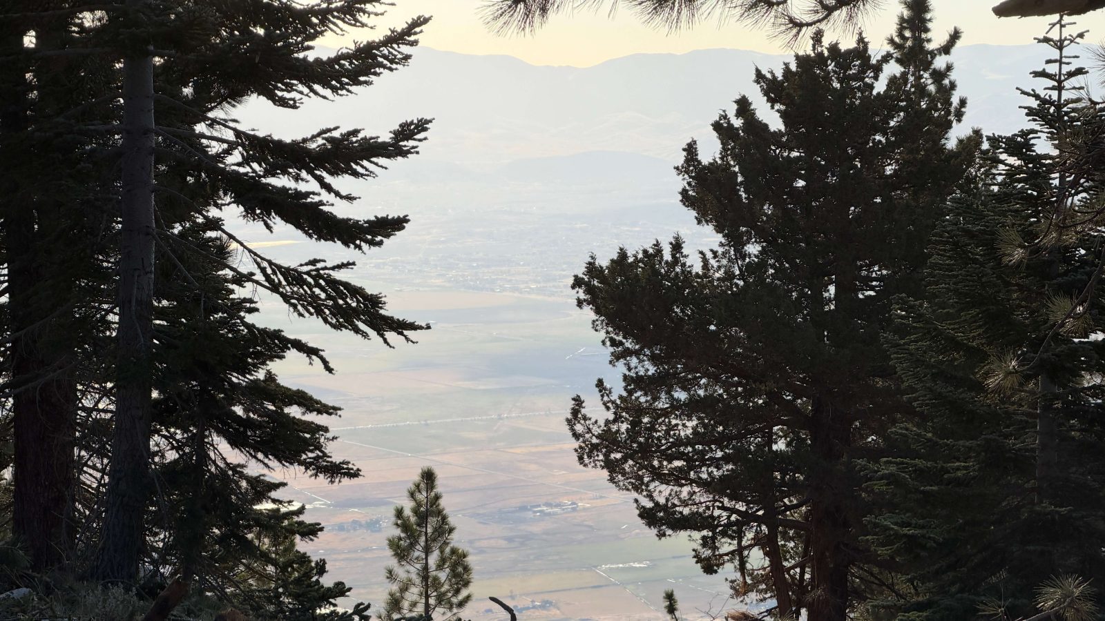
The road was dry, a bit dusty, and very pretty. It winds through tall pines, and every so often the trees open up and you look straight down onto Carson Valley and Genoa, a long way below. I stopped a few times just to take that in, and to take a couple of selfies with the truck, because a break doesn't count unless you document it.
I've been up this road in the truck before. That time I couldn't walk the last few hundred feet to the very top because of back pain and knee pain. That's been taken care of now, and today I parked, got out and walked it. All the way up.
The top is a pile of broken rock with a view in every direction. Carson Valley spreads out on one side, Lake Tahoe sits on the other, and the ridges roll off between them. I stood there for a while.
From the peak I took the road down toward Spooner Lake. By the numbers it was about ten miles, around 2,500 feet of climbing and closer to 3,000 feet down, with the high point just over 9,100 feet. Moving time was about an hour and a half; the whole outing took about two and a half hours.

And yes, I left the tracker running again. Some of the highway ended up on the end of the track before I noticed. Not a big deal; it's trimmed off.
What I learned: a place you've already been can still have a first time left in it. The view from the truck was nice. The view after walking those last few hundred feet was something else.
Truck Break


Real photographs
At the Top


Trail notes
Start at the Kingsbury trailhead, truck pointed up the dirt road toward Genoa Peak.
Marley runs alongside the truck for a while, then scouts ahead, out in front.
Stops to look down onto Carson Valley and Genoa through gaps in the pines, and a few selfies with the Tacoma.
Parked and walked the last few hundred feet to the very top, the first time all the way up.
A pile of broken rock: Carson Valley on one side, Lake Tahoe on the other, ridges between.
Down the other side toward Spooner Lake and Highway 50.
The tracker kept running onto the highway; that bit is trimmed off.